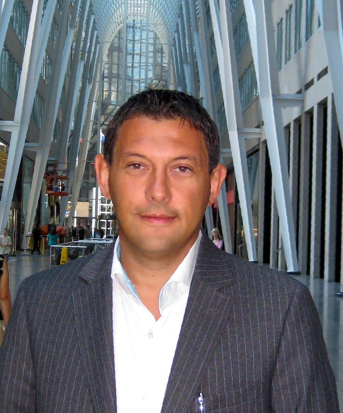
Nikolay Paskalev, M.Sc. Eng.
(Vice President)
Nikolay Paskalev is a highly accomplished Geodesy/Geomatics, Cartography and GIS expert with over 26 years of experience in the global mining and resources sector, specializing in leveraging spatial data intelligence to drive strategic decision-making and enhance operational oversight across international markets. His experience includes monitoring, analysing, geolocation, categorization and recording of worldwide mining activities on a daily base. Management of all stages of country wide map production, data compilation for National Instrument 43-101 reports, Due Diligence, Valuations and other technical reports. Some of his large-scale projects include the national resource maps used by state governments including those of Mozambique, Togo, Botswana, Sierra Leone, Burkina Faso, Democratic Republic of Congo. Mauritania, Saudi Arabia, Egypt, Rwanda, Uganda, Nigeria, Morocco and Western Sahara. He specializes in ArcGIS Pro, ArcGIS, QGIS, AutoCAD Map3D, MapInfo, Adobe, Microsoft and CorelDraw for various geological, geophysical and mineral resource projects and small-, medium-, and large-scale GIS mapping projects. His maps are included in more than 180 published National Instrument 43-101 reports.
Professional expertise and working experience in over 90 countries around the globe.